


Province of San Juan.
The Andean valleys of the Cuyo Region stand out for their clear skies, the great morphological variety of their mountains, the amazing views of the highest mountains in the American Continent, and the oases bathed by the rivers of melting ice produced in the Andean glaciers.
You will enjoy the warmth of the inhabitants of the valleys, as well as the typical architecture of the South of San Juan, which will invite you to return to these magnificent places.

MAIN PLACES OF THE CIRCUIT
• Inca Ruins of Tambillo, which materialize a point of the Inca Trail.
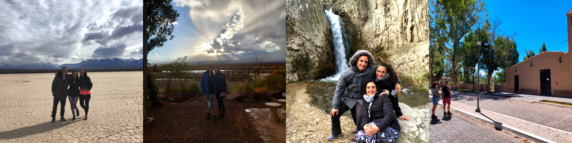
• La Pampa El Leoncito, located in the El Leoncito National Park, is an extensive plain of cracked soil, which does not contain vegetation or any obstacle. Formerly it was a lake, which after drying left this unique landscape. The views of the Andes Mountains are majestic, standing out the Cerro Mercedario (6,770 masl) and the Cordillera de Los Ansilta, with its imposing 7 Peaks.
La Pampa El Leoncito is recognized for being one of the best slopes in the world for practicing sand yachting, taking advantage of the force of the wind present throughout the year.
La Pampa El Leoncito es reconocida por ser una de las mejores pistas del mundo para la práctica del Carrovelismo, aprovechando la fuerza del viento presente durante todo el año.
• Barreal, 115 km from Uspallata, in the southeast of the province of San Juan, is a town that conquers visitors with the tranquility of its landscapes and the friendliness of the locals. It is a true oasis, where the protagonists are the poplar groves, the willows and the irrigation ditches through which the fresh waters of the thaw provided by the Los Patos River flow.
• Astronomical Observatory ¨Carlos Ulrico Cesco (CESCO)”, belongs to the National University of San Juan (UNSJ). Guided day and night tours are available. The guides are professionals of outstanding trajectory.
• Tamberías, its name reminds us of the presence of the "tambos" of the Camino del Inca, that is, the farmhouses that were used for the rest of travelers and the development of some pre-Columbian activities, such as agriculture, ceramics, etc.
Tamberías, located on the banks of the Río de Los Patos, is an agricultural town, with numerous cultivated plots. Its picturesque "historical quarter" is fascinating, where the neat adobe buildings take us back to life in the 19th century.
• Calingasta, the picturesque hamlets adorn this town, whose main activities are agriculture and mining. Its typically Cuyan groves and farms are irrigated by the Los Patos and Calingasta Rivers.
• Cerro Alcázar, located in the vicinity of Provincial Route 412, the Alcazar stands out for its color, which changes with the passing of the day. Formed by sedimentary rocks that belong to the Triassic formation (between 230 and 190 million years). Its striking forms were carved by the erosion of the wind and rain. Declared a Provincial Natural Monument, every year in April the Concert of the Americas is held at night.
circuit details
• SEASON: Year-round.
• Duration of the visits: 13 or 15 hours, depending on the time of year.
Itinerary: (*) (**)
• Departure from Uspallata.
• Camino del Inca (Ruinas de Tambillo).
• Pampa El Leoncito.
• Walk through Barreal, Tamberías, Calingasta, Cerro Alcázar.
• Daytime visit to the Astronomical Observatory "Dr Cesco" Astronomical Observatory.
• Observation of the sunset from a viewpoint.
• Night visit to the “Dr Cesco” Astronomical Observatory.
• Arrival at Uspallata.
(*) Ask about the options of starting the trip in Mendoza and Potrerillos.
(**) Ask for the option of doing the tour in 2 days.